One of TrailsWA's Top Trails, the 75 kilometre Kep Track runs from Mundaring in Perth's east to Northam. Starting at the Mundaring Weir Hotel, the trail follows the Railways Reserves Heritage Trail to Mt Helena before heading north. Passing through Chidlow, Wooroloo, Bakers Hill and Clackline while exploring the area's rail heritage, the trail features a memorably fast descent before arriving in town
Distance: 75 km (one way)
Gradient: Mostly gentle with some moderately climbs and descents, with the most major hills being between Clackline and Northam
Quality of Path: almost entirely on gravel rail trail, with some single track and road riding
Quality of Signage: Mostly well signed at all trail junctions
Experience Required: Mountain Biking experience recommended, very good stamina required if walking the trail
Time: 6-7 Hours on a bike, including lunch. 2-3 days on foot
Steps: None, this is a dual use trail
Best Time to Visit: All Year, but is at its best in late Winter through to late Spring
Date(s) Completed: 14th November, 2020
Entry Fee: No
Getting There: Western Terminus is located outside the Mundaring Weir Hotel. From Perth take Great Eastern Hwy to Mundaring Weir Rd and follow road south for 6.6 kilometres. At the roundabout, continue straight onto Weir Village Rd for 600 metres and turn onto Hall Rd. Trail starts outside the art gallery. Eastern Terminus is located in Northam. To get to Northam stay on Great Eastern Hwy until Mitchell Ave and stay on Mitchell Ave until you pass under a rail bridge. Eastern Terminus is located in the park just before the roundabout

Back around 2008, a friend of mine and I had the foolhardy idea of riding the Kep Track to Northam and back through the night, however with my friend having not ridden a bike for over a year we only made it to Wooroloo. After that aborted attempt, riding the Kep Track remained something I'd said I'd do sometime or another, but I basically left doing the trail on the back-burner for over a decade. Having ridden the Railway Reserves Heritage Trail in August 2020 and completed the Munda Biddi that same September, I wasn't quite finished with cycling trails for the year, and the Kep Track seemed like the natural continuation of the year's cycling adventures. With my friend, Life of Py blogger and Real Trail Talk co-host Mark Pybus keen to ride the trail with me, our initial plan had been to do the trail on a tandem bike if we could get a sponsor to loan us one for the comical endeavour.
With none of our potential sponsors finding it as funny (or perhaps more pointedly, as lucrative) an idea as we did, the two of us decided by mid-October to bite the bullet and do it on our regular bikes in November. With the warming weather heading towards Summer, I agreed with the caveat that I would not be doing it if it was a 30 degree day. As luck would have it the day we picked was a chilly day with a high in the low 20s and in the middle of three days of rain - in other words, perfect cycling weather.
Mark picked me up fairly early for the two of us to start the trail at the Mundaring end of the trail just outside the Mundaring Weir Hotel. Compared to the Munda Biddi and the Railway Reserves Heritage Trail, the Kep Track does not have an impressive trailhead, however it can be identified by the series of informative panels about the area's heritage just outside the Mundaring Weir Gallery. These panels are a feature all along the trail and are well worth stopping to read if you have the time and inclination.
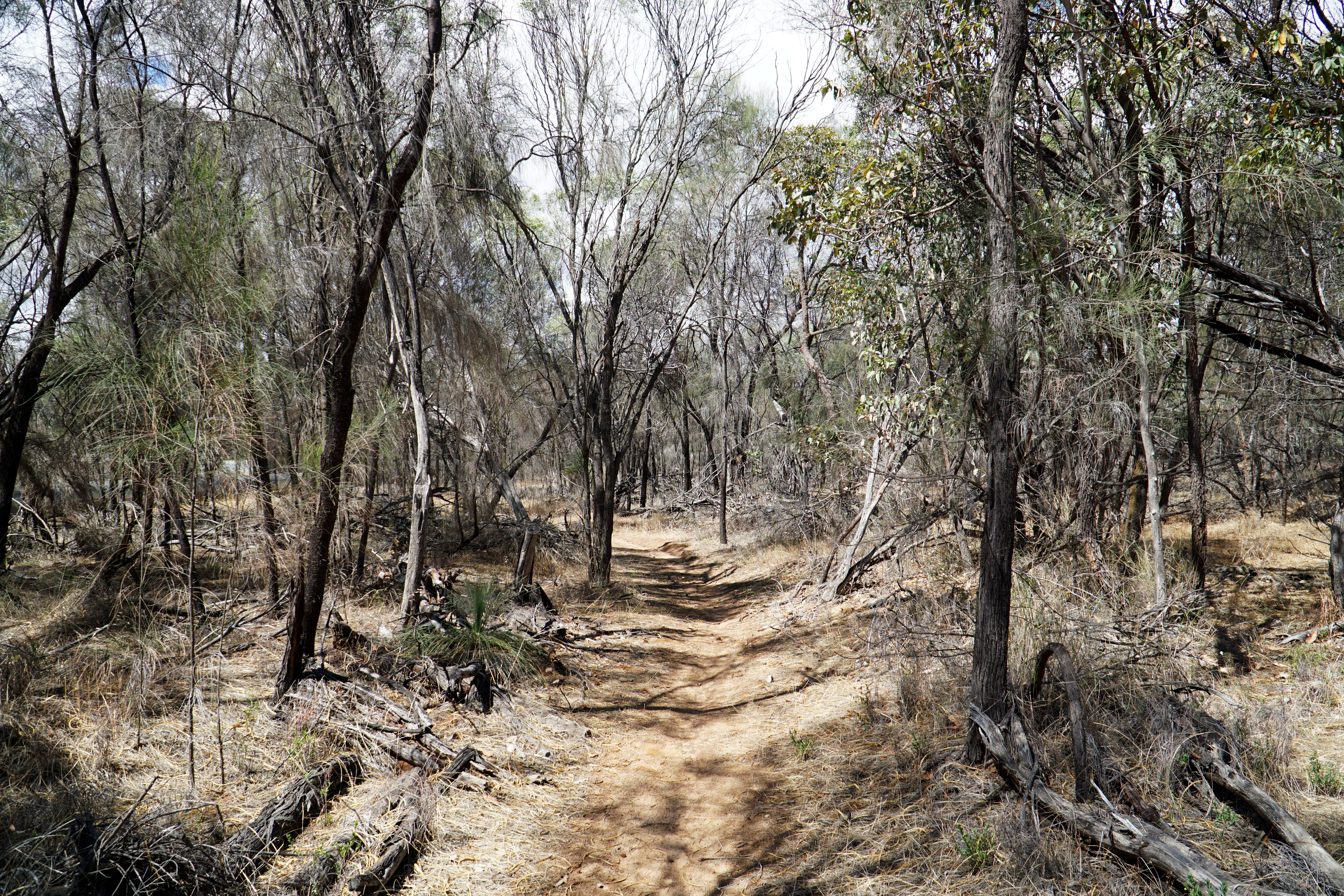
From the trailhead, the Kep Track follows the same route as the Munda Biddi and the Kattamorda Heritage Trail heading northbound. Following the water pipeline from Mundaring Weir, the trail also crosses paths with the Bibbulmun Track as it makes its way past Fred Jacoby Park and into the Jarrah forest.
When I rode this section of the trail while doing the Munda Biddi, I had been surprised by how much I had enjoyed the Jarrah forest riding, and I was pleased to see that I wasn't just looking at it with rose-tinted glasses as it was genuinely enjoyable. Being so late in the season I was pleasantly surprised and impressed by how lush the area looked, and with the rain overnight the green leaves had an extra glistening sheen to them.
When I did this stretch previously it was in the other direction. I remembered it as being a fairly continuous descent and as such was dreading riding up the trail. As it turned out, the ascent was not that challenging and we found ourselves at the trail junction in no time at all. At this point, the Munda Biddi and the Kep Track part ways, with the Munda Biddi heading left towards its Eastern Terminus at the Mundaring Sculpture Park. Heading right, the Kep Track basically follows the same route as the Railway Reserves Heritage Trail through to Mt Helena.

This section of the trail features more cuttings than the earlier ascent from Mundaring Weir, and the reserve is much narrower given that this is right in the heart of the Shire of Mundaring and Great Eastern Hwy literally cuts right through the track. I've already covered this section in more detail when writing up the Railway Reserves Heritage Trail, however the general trend here is towards a more easy coasting downward roll towards Mt Helena.
In spite of the narrowness of the reserve, there are some sections that feature some surprisingly nice Jarrah forest, which at the time of our ride looked remarkably unblackened for Jarrah forest in the Perth Hills.
While sharing the same route as the Railways Reserves Heritage Trail may make it feel like a bit of a repeat, one of my favourite sections of the whole trail is included on the Kep Track. Just beyond Sawyers Valley is the steepest descent of the Railway Reserves Heritage Trail, and it is a section I always enjoy riding at speed. Alissa does not enjoy the feeling of riding fast downhill on gravel trails, however Mark was more than happy to ride this with the same gleeful abandon that I exhibit through this section.

At Mt Helena, the Kep Track branches off from the Railway Reserves Heritage Trail - or from the trail's main loop at least. As I noted when writing up the Railway Reserves, there is actually a further 14 kilometres of trail that is officially considered the trail's 'Northern Section', but given most people think of the main loop as the true Railway Reserves Heritage Trail I think it is better to consider the trail north of Mt Helena to be just a subset of the Kep Track given the entirety of this Northern Section is covered by the Kep.

As the Kep Track leaves the Mt Helena trail junction, it does a weird loop around a water pipeline before continuing on along the reserve. Through here the Kep Track runs along raised sections of trail that clearly show its heritage as a rail form. With most of the scenery up to now being native bushland, the appearance of grasses dried by the approaching Summer were about the only indication on this relatively cold and rainy day that we were actually riding in November.
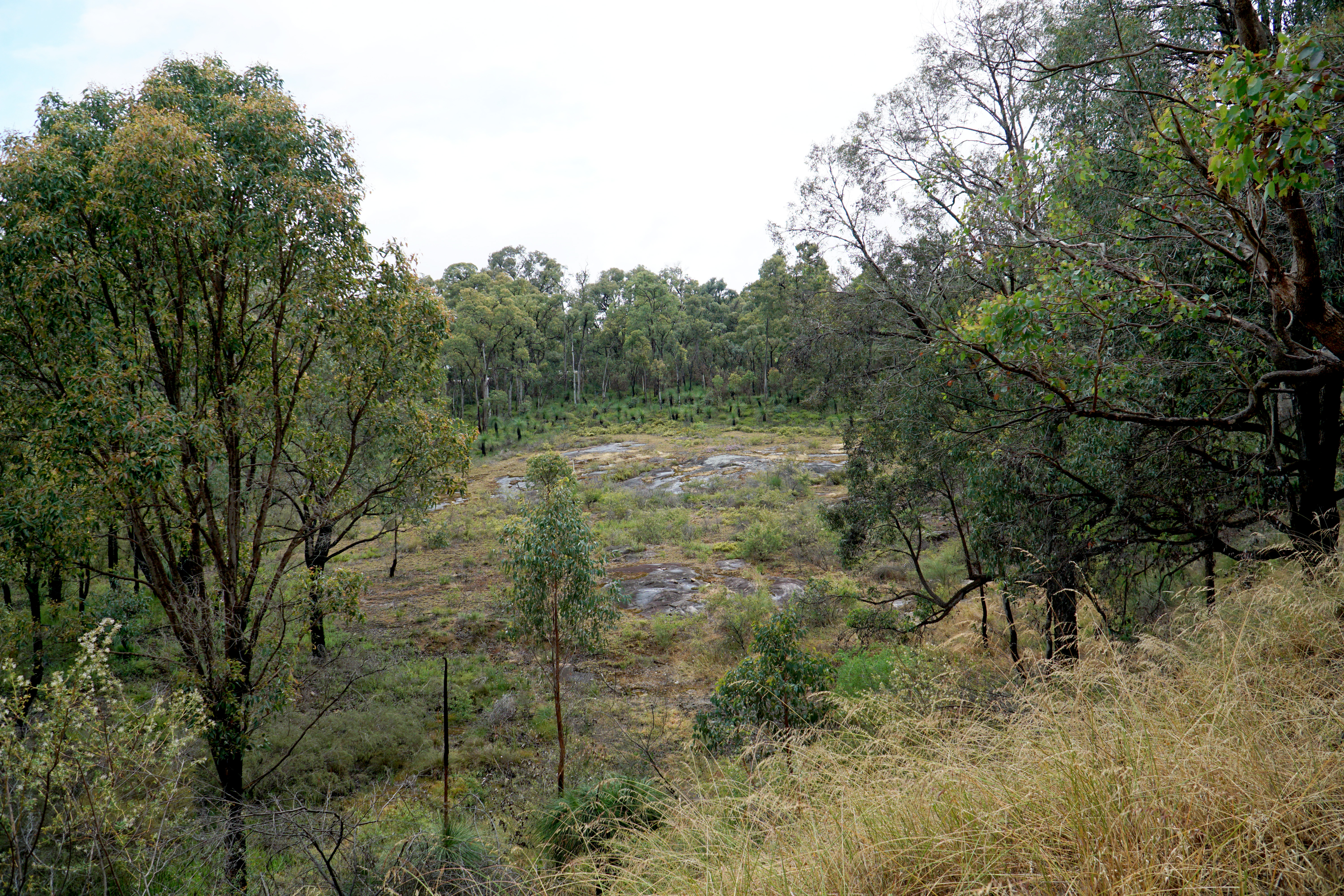
A nice highlight of this stretch of the trail is a view of a granite outrcrop in the valley below. While smaller than the granite formations throughout the nearby John Forrest National Park, it did at least provide a point of interest along what could have been a fairly nondescript section of rail trail.

After some rail trail riding that really was a bit nondescript, the Kep Track reaches Chidlow's Village Green. At this point, a side trail points towards the nearby Lake Leschenaultia. For decades a popular picnic area, Lake Leschenaultia has in the last few years become a bit of a mountain bike destination thanks to the construction of some good quality trails. Being able to link to Lake Leschenaultia from the Kep Track provides a side trip option and increases the functionality of the trail; once can imagine someone riding at the Goat Farm Mountain Bike park in the morning for example, taking the Railway Reserves Heritage Trail to Mundaring for lunch, and then riding to Lake Leschenaultia for another session in the afternoon - all on the power of bicycle!

Keeping with the area's railway heritage, the Chidlow Village Green features a few rail cars on display. I don't remember these being here when my friend and I attempted our through-the-night cycle back in 2008, and the works do look to be fairly recent. The fence around the rail cars suggests a bigger display is planned in the future, and I'll be interested to see how it all ends up.
At the eastern end of the park, a small pump track has been constructed. Known as the Chidlow Dirt Jumps, I would not consider it the best pump track I've ever ridden and it does have a bit of a makeshift quality to it, however Mark and I did have a bit of fun riding the track as a short diversion from our main goal of getting to Northam.
Leaving the park and passing under the shade of some lovely spotted gums, the Kep Track heads out of Chidlow along some more raised rail form before levelling out through the bushland.
Not far from Chidlow, the landscape opens up to hakea-dominated scenery. This is the sort of area that is really at its best during the peak of the wildflower season from late August through to October, however by November the main blooms have long past in Perth. Something is always blooming though, and we would see many grass trees with impressively tall flower spikes in bloom.

Over the years I've been asked if I have ever walked the Kep Track and if I would recommend it. Leaving Chidlow is a clear example of why this is not that suitable as a walk trail; the Kep Track has some really long sections of straight, uneventful track through very unremarkable scenery with not even ups and downs to give it much in the way of character. At the speed of bike, kilometres at least pass by fairly rapidly, but on foot when the speed is much, much slower the sameness could very easily become boredom if you're not a super ascetic monk-style hiker who only hikes to cover kilometres, or if you're someone who hikes for meditative reasons and has little concern about how unremarkable the scenery along the way is.
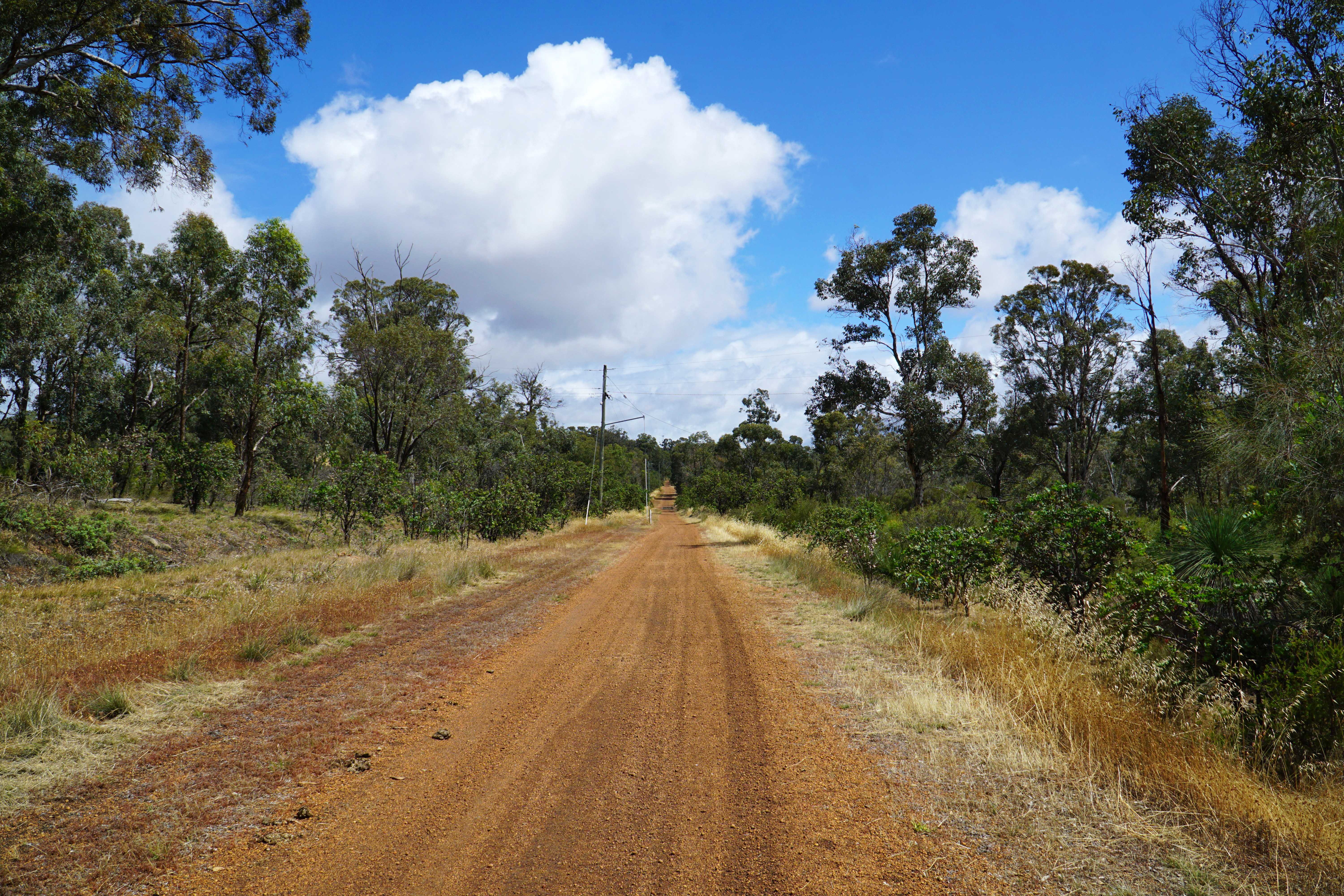
Crossing Old Northam Rd, it appeared like the repetitive scenery is about to change to farmland as the small tree-lined rail form runs between farmland on either side.
Alas, this was not to be, as more samey scenery leads towards Wooroloo - only this time with some powerlines providing some utilitarian charm.
Wooroloo marks the northern terminus of the Railway Reserves Heritage Trail and features a small picnic area and playground. Compared to Chidlow it is a bit anticlimactic as it looks a bit run down and unloved. This was as far as I got with my friend in 2008 when we decided to turn around and abort the ill-advised double end to end. Mark was feeling a bit peckish and we thus stopped here for a pizza snack break before continuing on to our next major destination - Bakers Hill.
Beyond Wooroloo, the trail conditions are a bit more variable than the section maintained as the Railway Reserves Heritage Trail. The excellent signage information that shows how many kilometres there are to the next major landmarks does continue however, and it made me wonder how separate the Kep Track and Railway Reserves Heritage Trail really are (or at least were).
As Mark and I continued along the trail, we were shocked by the sight of three weird birds running along the trail before darting off into a small wetland on the side of the trail.
Mark and I had never seen these birds before, and we were fascinated by these weird turkey-looking birds. Months later I would find out from some bird watchers that it was an example of a helmeted guineafowl, and I watched with some amusement as they debated about whether it was 'guinea fowl' or 'guineafowl'. Interestingly, someone else from the birdwatching Facebook group asked if I had seen the birds between Wooroloo and Wundowie, suggesting this is a common sight along this stretch of the track.
After the fascinating encounter with the alien birds, I was delighted as the forest along the trail transitioned to Wandoo. One of my favourite Eucalypts, the smooth bark of these trees make them a lot more attractive than the Jarrah forest that dominates the Darling Scarp on its western slopes, with Wandoo becoming increasingly common heading east into the Wheatbelt.

Given the Railway Reserves Heritage Trail officially ends in Wooroloo, Mark and I were surprised to see a Railway Reserves Heritage Trail sign at the gate marking the border of the Shire of Mundaring. It became clear to me that the Railway Reserves Heritage Trail and Kep Track were likely once the same trail back when the Railway Reserves Heritage Trail came into being in 1988, but when it was refurbished and elevated to Top Trail status, it was the Shire of Mundaring who were behind making it a major rail trail. Sure enough, a quick inspection of the Railway Reserves Heritage Trail's brochure shows it to be the product of the Shire of Mundaring.
In spite of the narrowness of the rail reserve, the vast majority of the riding up this point had an enclosed feel thanks to the forest growing along the trail. Leaving the Shire of Mundaring, there is an obvious transition to more iconically Wheatbelt scenery, with rolling hills of grassy fields becoming more and more common.
After stopping to take in the rolling hills, Mark and I returned to our bikes but were momentarily distracted by a particularly pretty grass tree just off the track with bees busily collecting the nectar. It made me wonder what Grass Tree honey might taste like. Though Karri, Marri and Jarrah honey are quite common in Western Australia, I've never seen Grass Tree honey for sale.
Back on the trail, the rail trail continues mostly as a wide track with one exception - a short section of rare single track with grass growing on either side. On a hotter day, I would have been a bit concerned about snakes, however being blessed with colder weather it was thankfully not much of a concern at all.
After passing through some nice Wandoo forest, the rail trail disappears for 1.2 kilometres of road riding along Werribee Rd. Given the open land alongside the road, there really is no reason that the riding couldn't continue along a formed rail trail other than lack of funding, however it is at least a relatively quiet stretch of road riding that thankfully passes by very quickly.
Along the road, the Kep Track passes by the Wundowie Foundry. While now owned by Bradken, the foundry can trace its origin back to the 1940s when it was a government owned operation making pig iron and wood distillation products.
Back off roads, the Kep Track beyond Wundowie has basically been converted to a service track running along the powerlines. This is one of the least exciting sections of the Kep Track, and Mark and I were really just wanting to get to Bakers Hill already.
The approach to Bakers Hill is at least very clearly signposted by a change of scenery, with the Kep Track passing through a clay cutting that resembles a moonscape (albeit if trees could grow on the moon).
Exiting the clay cutting, the trail passes by some lovely Wheatbelt scenery as the trail provides an easy cruise into the settlement at Bakers Hill.
Bakers Hill is probably the most important landmark along the Kep Track because it is home to the famous Bakers Hill Pie Shop, and with 48 of the Kep Track's 75 kilometres completed Mark and I were ready to live the Life of Pie.
Having smashed out some decent kilometres, it was time to indulge in a 10 on a Plate - a Cheese and Chilli Kransky Sausage Roll and a Chicken and Mushroom Pie. In a completely unpredictable move, Mark did not even have a pie at all; being a vegetarian and having been snacking on pizza over the day, he instead settled on a Vegetable Pastie.
Our timing at Bakers Hill could not have been more perfect; as we were eating, a really heavy shower rolled in and by the time we were finished it had stopped altogether. Heading back to the rail form, the Kep Track passes by the remains of the old Bakers Hill Station as it continues east towards Northam.
From Bakers Hill, the Kep Track stays fairly close to Great Eastern Hwy. It was surprising to see how much the wetlands nearby had be inundated with the recent rains. It added a nice bit of welcome variety to the scenery given how samey the riding had been from Wundowie to Bakers Hill.
The raised rail form provides another nice change of scenery as it makes its way through a tunnel of stunted or regrowth she-oak, with the occasional granite boulder providing further points of interest.
Another point of interest is a short rail bridge that has been refurbished on one side for bicycle use. While there are a couple of rail bridges in John Forrest National Park along the Railway Reserves Heritage Trail, this is the only rail bridge that bikes travel on along the Kep Track.
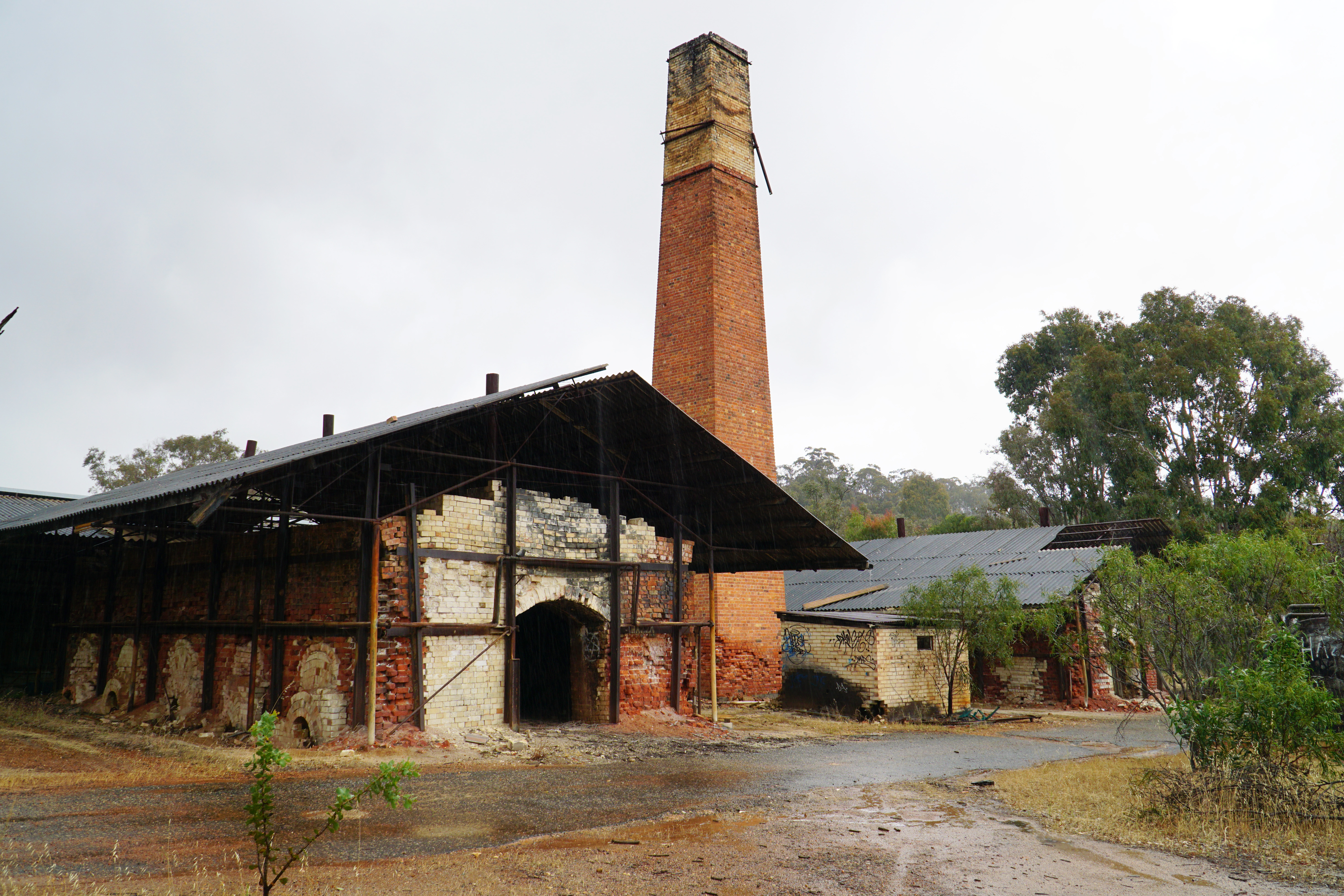
With the rain starting up again, Mark and I were once again fortunate to be able to seek shelter as we arrived at the Clackline Refactory. The refactory used to make high quality fire bricks and operated until the 1950s. While heritage listed, the refactory is in a state of slow decay, and it looks like the kind of place homeless people might come to for shelter were it not so far from the city.
Seeking shelter under the cover of the tin roof, Mark and I made the most of the opportunity to check out the old brick furnaces.
With the intense rain reducing to a more manageable drizzle, I decided to head further along the refactory's driveway to check out the newer but nevertheless derelict buildings that are part of the refactory complex.
It is interesting that the older building seems to have been less severely graffitied, as if the taggers had a greater sense of reverence for the old furnaces. Meanwhile, the newer buildings are a veritable street art gallery.
While far from the most technical of the artworks, the greatest work in the 'gallery' is the above piece. I love the thought of someone coming in feeling depressed and having a moment of revelation that led them to write 'Fuck IT BE HAPPY LIVE LIFE!' and then someone with less brutally honest introspection added their own comment to the bottom, completely changing the earnestness of the former message into something far more cheeky and roguish.
With the rain subsiding, Mark and I continued on our way with the Kep Track passing by the Clackline Nature Reserve that is one of the small but enjoyable Walk GPS walks in the Wheatbelt area.
Passing the settlement of Clackline, the trail runs by the remnants of the old Clackline Railway Station. A double platform station, Clackline looks like it was once one of the more important along the old railway line, and indeed a bit of research online shows that it was the junction point for a few different lines.
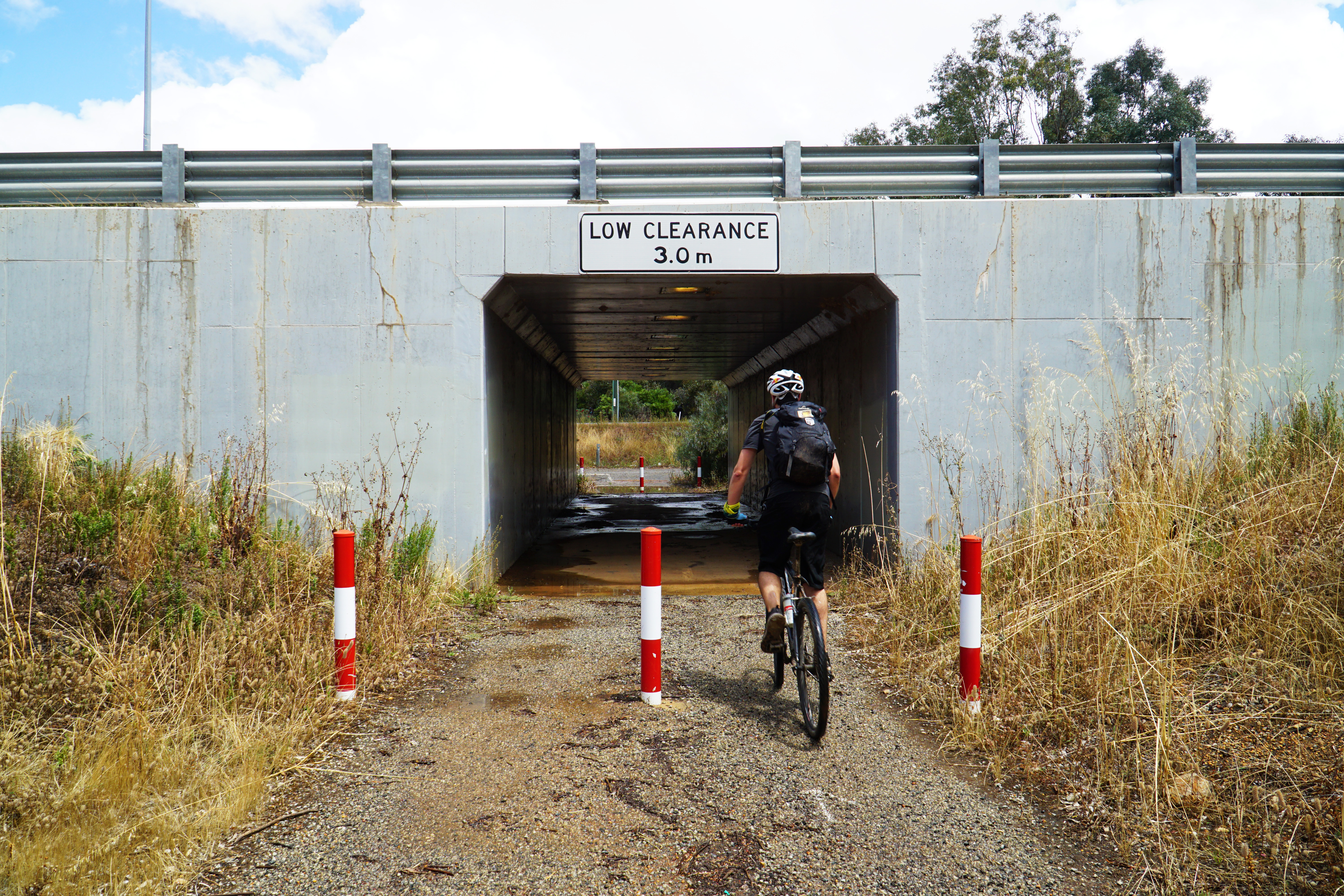
Beyond Clackline Station, the Kep Track crosses through a tunnel under Great Eastern Hwy as it approaches one of its most iconic landmarks.
A lot of the old promotional imagery for the Kep Track used to feature photos of the Clackline Bridge. Constructed in 1934, the bridge claims to be the longest, curved, downhill timber bridge in Australia, which seems like a distinction with so many qualifiers that it seems like a local historian doing the research was thwarted at every turn; is it the longest timber bridge in Australia? No. How about the longest curved timber bridge? No again. Okay, how about the longest, curved, downhill timber bridge in Australia? Maybe!
Something I'd seen in some other peoples' photos of the Kep Track is that Mooka Creek crosses under the bridge, and in the wetter months provides a splashdown for riders coming through the area. Fortunately for Mark and I, the November rains had meant the creek was flowing and we too were able to enjoying the refreshing experience.
Another major benefit of the creek flowing was that the rocky pool known as Platypus Rock was actually filled with water, and was located just downstream of the image above. Unfortunately, there was some unsightly rubbish in the water that completely ruined the otherwise idyllic scene. Right next to Platypus Rock is the Clackline Lion Park, which features some informative signage not dissimilar to the Railway Reserves Heritage trailheads.
The Clackline Lions Park is also the beginning of a 10 kilometre section of road riding along Eadine Rd. This road is thankfully relatively quiet so was not totally objectionable, and Mark and I were pleased with the fast rolling ease that the bitumen offered.
The scenery through this area is classic 'I love a sunburnt country' Wheatbelt scenery, with the drier, hotter weather of late Spring providing fields of gold that would have been green just a month or two earlier.
The initial novelty of the road riding wore thin once we realised how convoluted the road was and that we had one of the trail's steepest hills to contend with, followed quickly by a second shorter but nevertheless moderately steep climb. Luckily the rolling hills also translated to excellent views which made the experience worthwhile.
After 10 kilometres of road riding that seemed to never end, Mark and I were delighted to finally get off the bitumen and back onto dirt tracks as we finally left Eadine Rd.
Upon leaving Eadine Rd, the Kep Track follows the old water pipeline east, staying with the pipeline almost continually to Northam. At this stage Mark and I had less than 10 kilometres to go before reaching town, and the anticipation was definitely building.
Reaching the top of the last climb of the Kep Track, the trail becomes a stretch of single track along the edge of Commonwealth Government land with warning signs not to trespass. At this point, I remember Mark and I talking about how uncomfortable bike seats are, with Mark wondering it it would at all be possible to put an actual normal chair seat on a bike. Ah, the conversations you have when you've already ridden 66 kilometres!
Keeping to single track, the Kep Track does a loop around a massive water tower, coming down the other side as the trail runs closer to Great Eastern Hwy. For cyclists heading into Northam this is the start of a good series of descents into town.
Through here is one of the best sections of fast, fun single track on the entire Kep Track, and it makes the descent to the highway very enjoyable.
Reaching the highway, the trail passes by what looked like a military base. I didn't realise it at the time, but this is actually Yongah Hill Immigration Detention Centre. Thinking back, I wonder how many people are actually detained here and for how long given Australia's track record for a hardline lack of compassion when it comes to immigration detention. It is kind of weird that a recreational trail runs right past it; it almost feels a bit like flaunting freedom in front of people with very little freedom at all.
Crossing Mitchell Avenue, the Kep Track crosses over the water pipeline before beginning the final descent to Northam.
This descent is both fun and borderline scary, as there are some seriously eroded and steep sections of the trail a bit further along from the above photo. Riding it, it was one of those moments when I felt that I had to commit as hitting the breaks could have resulted in stopping on a slippery slope anyway.
Having reached the bottom of the steep descent, it was basically easy cruising from here on in as we cycled through one last iconic Wheatbelt scene complete with a classic Australian windmill.
Crossing Mitchell Ave one more time, a rail bridge for a still in operation railway line dominates the view. It stands as a reminder that while some of the old railway lines had been closed down with some converted to rail trail adventures like the Kep Track, rail technology is still an important mode of transport in Australia. That being said, if they ever close down this railway line, I hope they will keep this bridge for rail trail riding as that would be awesome!

Reaching a park at the edge of town, the Kep Track anticlimactically reaches its current end point. While KML files online (Trails WA, All Trails) all point to the Kep Track finishing in town by crossing the Poole St Bridge, the bridge looks to have fallen into disrepair for some time, leaving the trail without a proper trailhead at its eastern terminus. While I'm sure there isn't the money for it, it would be a great developmental opportunity for the trail if the bridge could be reinstated to provide a fitting end for the ride.
As Mark and I worked out what we were going to do, Alissa showed up at the park as she too figured out that this was the current end of the Kep Track. Wanting a finish in town, Mark and I decided we would push on down the road, cross the bridge over the Avon River and get picked up on the other side.
Mark and I were amazed to see the river full and so deep this late in the season, and it was lovely to see it teeming with birdlife. Later, I would look up the Google Maps image and see the reason why this area is still such a wide river even in November - there is a dam downstream of the bridge that keeps the water levels more consistent.

Crossing the bridge, Mark and I finally had a satisfying finale to the ride as we witnessed Western Australian-based artist Amok Island painting the old Northam Flour Mill with a fantastic large scale mural. Titled 'The Last Swans', the work features white swans as Northam is the only place in Australia where introduced white swans actually breed in the wild. With Alissa picking us up from the flour mill's car park, our Kep Track adventure came to an end.
Given the Kep Track has been on my to-do list for over a decade, it was nice to finally ride it all the way - especially after the aborted attempt in c.2008. While I'm glad to have completed the trail and enjoyed the company riding it with Mark, I have to admit I did not love the Kep Track from a scenery standpoint, as I felt there were long, repetitive stretches that were not particularly scenic and I remember boldly declaring that I probably wouldn't do it again.
With a hot Summer of limited cycling, and time spent editing the photos and writing up the trail, I have to admit the highlights were probably a bit better than I remembered, and being out on the bike is better than being stuck indoors. While I think it is not quite as enjoyable a ride as the Railway Reserves Heritage Trail or most sections of the Munda Biddi, I probably would ride it again sometime in the future.


An enjoyable read, thanks for posting this. We live in Germany, but I'm from Perth, and we've talked about doing the Munda Biddi trail at some point, and I imagine this would be a good training ride. Two questions: how did you then get back from Northam? Train? And any idea why the Kep Track is called "Kep"? [Commenting using my wife's profile (for some reason I don't have an option).]
ReplyDeleteEd Miles
Oh and my wife came to pick us up, I did mention this in the blog but it was probably not super clear. The Avonlink train can carry bikes but they only operate Monday to Friday
DeleteHi, yes the Kep would be a good training ride though I reckon the Railway Reserves Heritage Trail is probably the best for a first shakedown of gear as it is a bit easier and would translate to similar kilometres to a day on the Munda Biddi.
ReplyDeleteIt is called the Kep Track because the local Indigenous word for water is Gep. Probably should have included the somewhere!