A short walk in the Wheatbelt, this three kilometre return hike takes walkers to the summit of Kokerbin Rock - purported to be the third large monolith in Australia. Initially circling the rock, the trail rises up the gentle to moderate gradient to the rock's summit. Featuring 360° views of the surrounding landscape and fascinating scenery along the way, this is an excellent introduction to the Wheatbelt's granites
Distance: 3 km (return)
Gradient: A mix of gentle, level walking with some moderate sections
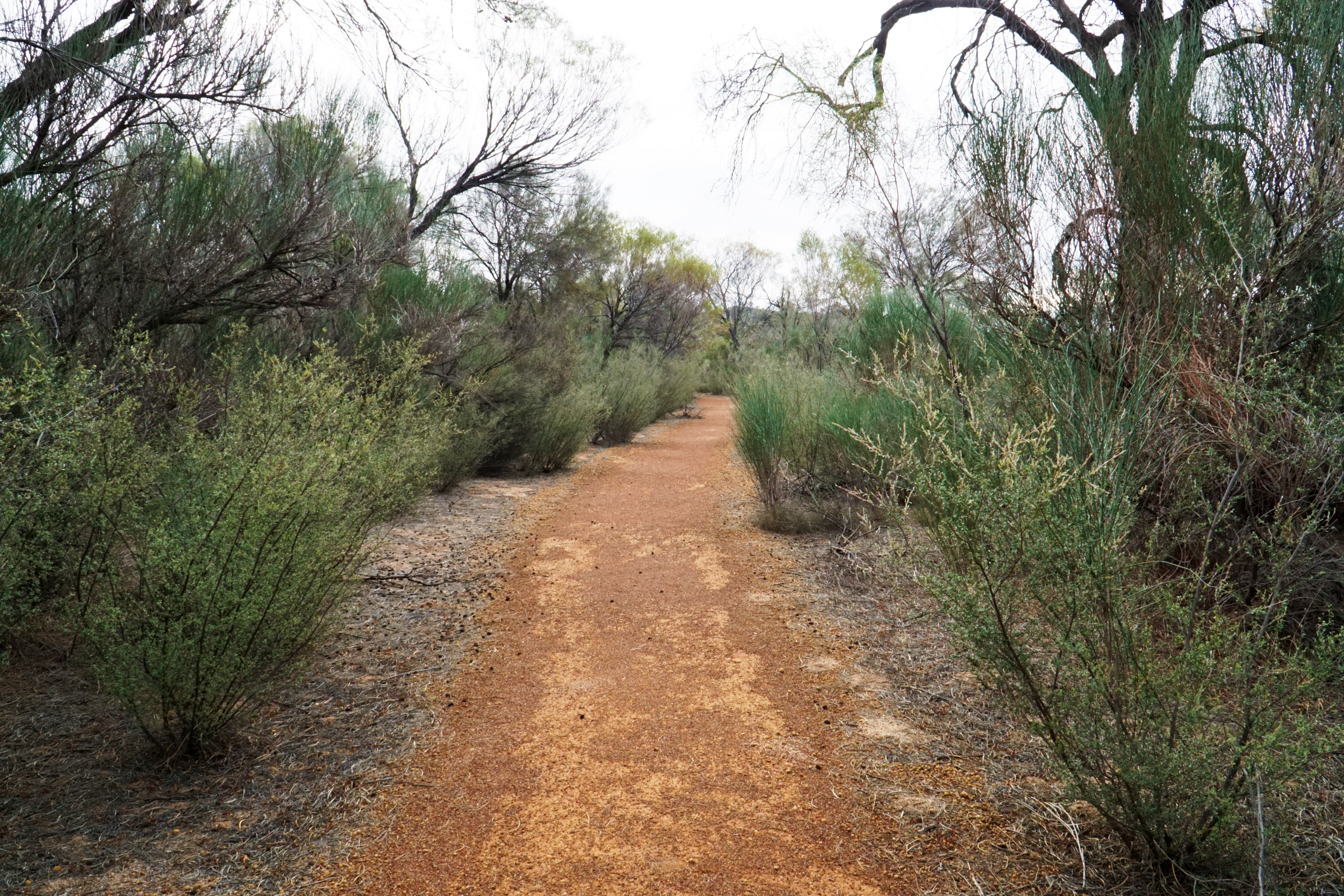
Quality of Path: Well formed path around the rock, with unmodified and natural surfaces to the summit
Quality of Signage: Excellent informative trailhead and clear directional signage along the way
Experience Required: No Bushwalking Experience Required
Time: 1-2 Hours
Steps: Few formal steps but this is not a wheelchair accessible wlk
Best Time to Visit: All Year
Date Completed: 6th March, 2021
Entry Fee: No
Getting There: Kokerbin Rock is located between Quairading and Bruce Rock. From Bruce Rock-Quairading Rd, head towards Kwolyin and then follow Kwolyin W Rd north-west for 8 kilometres before turning left onto O'Gradys Rd. Continue on O'Gradys Rd for 500 metres before turning left onto the Kokerbin Rock Picnic Area access rd. Trailhead is located at the picnic area

While Australia's South West is filled with a good variety of quality, well publicised walk trails, the same cannot be said about the Wheatbelt. With the Wheatbelt's focus on agriculture meaning tourism is a bit of an afterthought, there are actually a large number of large granite formations throughout the region that are worth exploring. While Alissa and I have done the fantastic off-track walk at Boyagin Rock with our friend Mark Pybus from the Life of Py, our plans to head out for a Wheatbelt Granites road trip have been thwarted by terrible weather on more than one occasion, meaning we've not been able to explore the region to the degree that we've wanted to.

Out for Alissa's birthday (which conveniently fell over a long weekend), the two of us were out on the PUBLIC Silo Art Trail when we realised we were close to Kokerbin Rock, which is said to be the third largest granite monolith after Uluru and Mt Wudinna in South Australia. Given that Bald Rock in New South Wales and Walga Rock in Western Australia also lay claim to being the second largest, I'm skeptical of where Kokerbin sits in the giant granite rock pecking order, but being in the area gave me the perfect opportunity to get a quick hike in our already overly stretched schedule.

Given we were running behind schedule, Alissa and I agreed I would do the trail solo given I'm a faster walker than she is. We were already going to arrive at our accomodation in Katanning after sunset, however we were now also chasing to get to Katanning in time for dinner. While not my favourite thing in the world, I had no choice but to do the trail at the pace of a (slow) trail runner, running and jogging almost the entire walk to get it done as soon as possible.
Heading from the car park along Kokerbin Rock's eastern side, the first major feature of the walk is accessed via a short side trip to the left of the trail which leads to Wave Wall.
This feature is basically a mini-version of Wave Rock, having been formed by water erosion in the same way as similar formations have been carved int the past. This Wave Rockesque formation is much much smaller than the real Wave Rock, but provides a fascinating early highlight of the trail.
Keeping with Wave Wall being a cheap knock-off of Wave Rock, the next major feature of the walk is a section known as the Devil's Marbles. Bearing a resemblance to the more famous Devil's Marbles in the Northern Territory, the jumble of rocks are not quite as precarious looking as their namesake but nevertheless provide another exciting feature on the way to the top.
After the Marbles, the trail loops around the rock to begin its ascent. Having already stopped a few times for photos, the time pressure was definitely weighing on my mind so I was counteracting every stop by running sections. Along the way, there is a side trail that leads to an old pioneer's well. Having already stopped off at some other pioneer's wells earlier in the day, I ran right past the turn off with my eyes on the prize of reaching the summit.
Not long after the turn off to the well, the trail turns to head up along the rock itself, which had me relieved as I was beginning to wonder how long it was going to be before I reached the summit climb. It wasn't that the walk was that long, but with time of the essence I was really feeling the sands slipping through the hour glass.
The granite slope of the summit climb is relatively gentle, which is just as well given I would be running at least part of the way. While lacking a modified path, there are markers glued directly to the rock that provide very clear navigational guidance.
Working my way up the rock, the trail curves around the vegetated gullies as it makes it way up to the summit.
Levelling out briefly, the trail passes by a small jumble of interesting rocks that look like a mini version of the Remarkable Rocks in South Australia. Truly, this walk is like a Las Vegas of Australian natural granite attractions given the number of miniature versions of other more famous places that can be seen along the trail.
Reaching a broad platform along the rock, the trail provides expansive views of the Wheatbelt farmland. While it is always sad to see the small pockets of native woodlands that are left and realise how beautiful the trees of the Wheatbelt used to be, the farmland has its own idyllic beauty - even if the early March time of the walk meant it wasn't the vibrant greens and yellows that are more prevalent in the Springtime after the Winter rains.
From the shelf, the trail rises up a moderate incline to the summit, following a mix of markers, old painted arrows on the rock and some tasteful directional cairns.
Buried within a small pocket of vegetation is Kokerbin Rock's summit cairn, which is a well made structure.
The view from the summit is excellent, with many of the surrounding granite hills of the Wheatbelt visible. It definitely gives me the impression that there is a lot more to explore in this area, and I'd really like to come later in the year to check out some of the other small walks scattered through the Wheatbelt.
After taking a moment to enjoy the views from the summit, it was time to begin my run back down the rock. While there had been some rain recently, the rock was mostly dry and grippy so was conducive to my need for speed.
As much as I was in a hurry, I was stopped in my tracks by a stunning scene of god rays filtering through the clouds and some gnammas along the rock filled with water. The view was even more spectacular in person, and made the late in the day time of the climb worthwhile.
Looking down from the rock, I could see the area where the Devil's Marble section is located. The area looked really interesting as a bouldering location that might be worth a bit of further exploration on a second, less rushed visit.
Back down off Kokerbin Rock itself, I continued to run along the path to the car park, stopping only briefly for the last few photographs of the Devil's Marbles on the way through.
While visited with less that optimal time constraints, the side trip off the PUBLIC Silo Art Trail to climb Kokerbin Rock was well worth the detour; it is quite a spectacular granite monolith and a hidden gem of the Wheatbelt that is high in reward for not a lot of challenge. While I won't get into debates about whether it is the third biggest rock in Australia, I will say it is the Granite Feature Las Vegas with all its little features along the way which makes for an engaging and scenic trail. This small sampling of the Wheatbelt granites has certainly whet my appetite, and I look forward to coming back to explore further - as well as potentially repeat this one with Alissa when time is on our side.


0 comments:
Post a Comment