

Day five of a seven day hike on the Bibbulmun Track, the walk from Mt Chance to Woolbales is arguably the best day of walking in the Pingerup Plains. Featuring sections of vast plains with wildflowers and occasionally filled with beautiful orb weaving spiders and their perfect webs, the open plains are complemented by varied walking through Jarrah and Karri forests, as well as three side trips to granite peaks
Distance: 21.8 km (one way; does not include side trips up Mt Chance, Pingerup and the Woolbales hill)
Gradient: Relatively gentle over its entire length, with some minor inclines. Moderately steep along the Mt Pingerup side trip
Quality of Path: Largely clear and well maintained, although the Pingerup Plains and sections of the Mt Pingerup side trip were slightly overgrown at times. Sections can be inundated through Winter and Spring
Quality of Signage: Largely well signed, with the Waugal providing very clear directional information.
Experience Required: Previous Bushwalking Experience Recommended
Time: 5.5-6.5 Hours, including 20 minutes for the side trip up Mt Pingerup
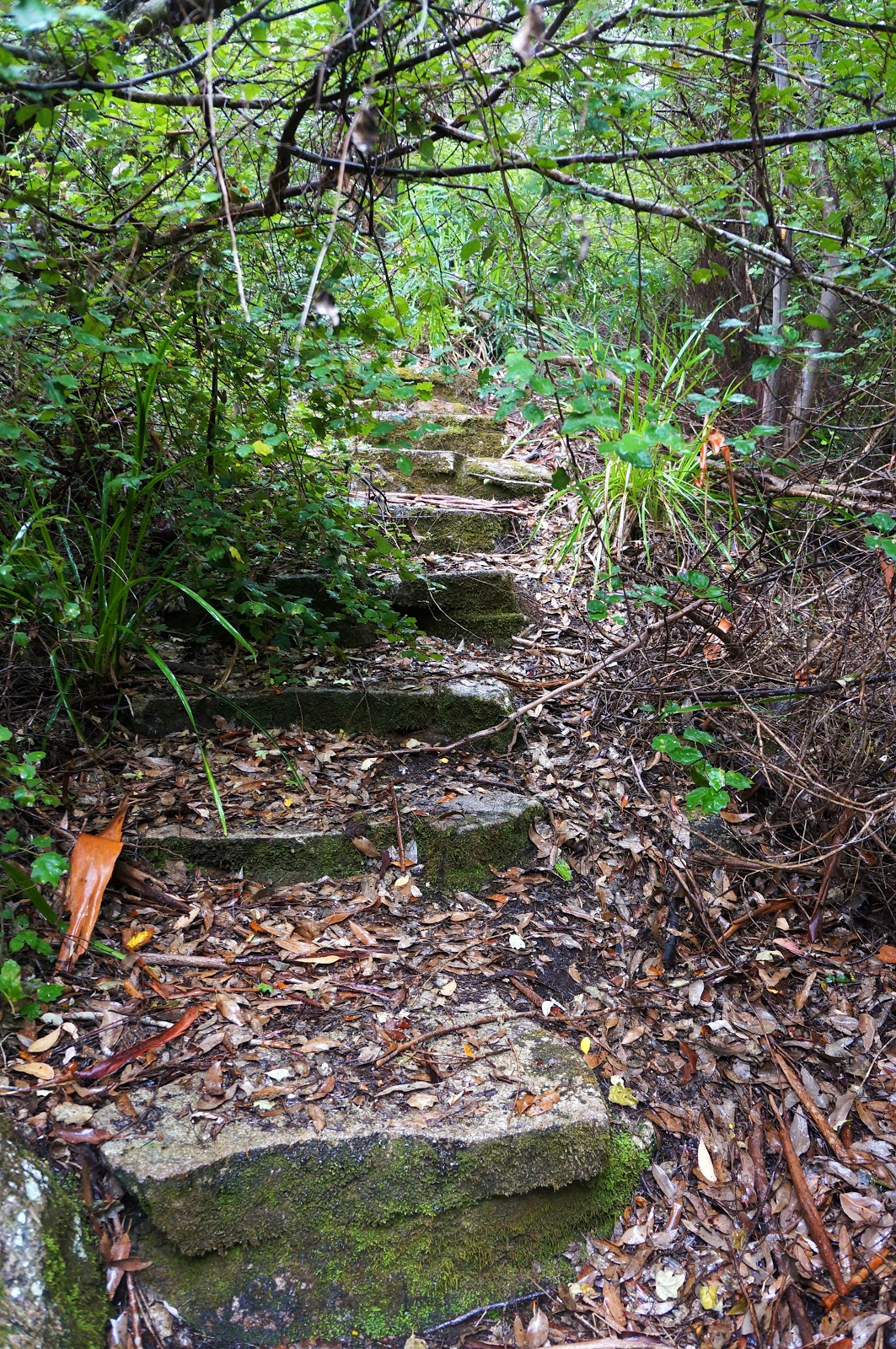
Steps: Some informal steps, with formal steps along the Mt Pingerup side trip
Best Time to Visit: All year, except for the peak of Summer and during particularly stormy Winter days.
Entry Fee: No
Getting There: This section was walked hut to hut. Mt Chance and Woolbales can be reached indirectly by walking in from South Coast HwyEntry Fee: No

After the noisy trio from Dog Pool, Alissa and I were definitely hoping for a much more relaxing night's sleep at Mt Chance. Although we had considered setting up at one of the tent sites, we decided to stay in the hut with 'Kangapard' - the American thru-hiker we had met in the afternoon. Everything was going well until 2am when a strange scream and rattle-like sound woke us up with a jolt. Unfamiliar with the animals of the South West, Kangapard asked us if it was a rattlesnake, and we reassured her that there are no rattlesnakes in Australia. Still, the sound left us pretty shaken and none of us dared get out of the hut to go investigate.
While we lay in our sleeping bags listening out for a second call, we began to hear what sounds like footsteps as something made its way around the campsite. Eventually the footsteps stopped just outside the wall nearst to Alissa's head, and we began to hear a continuous scratching sound coming from beyond the wall. Eventually the sounds stopped, but for a moment it felt like we were in Jurassic Park being stalked by Velociraptors.
We still have no clue what animal had made the sound. We thought it was perhaps an emu given the sound of footsteps and dinosaur-like call we had heard. The closest thing we could find to the sound online was that of a brushtail possum on Youtube, however what we heard was significantly more shrieky and aggressive.
Anyway, the rest of the night was fairly uneventful, and Alissa and I definitely woke up far more refreshed than we had been the day before. Walking without a stove meant that Kangapard was packed and ready to go much faster than we were, and we said goodbye not long after sunrise. We had planned to catch up with her again at Gringer Creek to do a food drop for her, however closures further along the track lead to her deciding to cut her End to End short.

Although I had climbed Mt Chance the day before, I knew that there would be two other granite peaks along this stretch of track and I wanted to summit all three on this day of walking.

It was definitely worth the effort climbing up Mt Chance again; the cloudier skies and golden glow of the early morning sun gave the landscape a completely different feel to the previous day, and we would be blessed by much more moody weather for the rest of the day.

Heading off from the Mt Chance spur and back onto the main track, the cloudy skies literally painted the Pingerup Plains in a new light.
Although we had appreciated the plains over the previous day, it looked even more beautiful under the moodier lighting. For Alissa and I, this was something an 'Oh there you are, Peter!' moment - after two days of subpar walking, the single file, purpose built track through the plains finally offered us some stunning scenery that warranted the positive appraisals we'd heard about Northcliffe to Walpole from other hikers.

Seven kilometres into the walk, the Bibbulmun Track runs concurrently with the Mt Pingerup Walk Trail as it immerses the walker in beautiful Karri forest.

The Bibbulmun does not officially go up to the summit, however it is easily accessible as a side trip in a style reminiscent of the Overland Track. Alissa was not overly fussed about checking out the side trip, so I left my pack with her at the trail junction and continued up Mt Pingerup by myself. The forests become increasingly dense the further up the trail I went, and the overall appearance was very similar to some of the excellent walking from Donnelly River Village to Pemberton or through the lower levels of the Porongurups.
Considering that Mt Pingerup is not often talked about outside of being a side trip off the Bibbulmun, I was pleasantly surprised to find formal, constructed steps closer to the top of the 'mountain' (its not a mountain).

Just before reaching the summit, the track levels out from its continuous ascent and traverses a flat Granite clearing.

Just beyond the clearing is the summit of Mt Pingerup. Surrounded by Karri trees, it definitely reminded me of the Porongurups - in particular the first section of the Nancy Peak Circuit when the trail breaks through the tree line. Unfortunately, the constant drizzle that had begun earlier in the day obscured any impressive views on offer. Nevertheless, I found Mt Pingerup to be a worthwhile side trip that I can imagine would be even better in clearer weather.

All up, the side trip took about 20 minutes, making it a fairly accessible optional extra for anyone interested.

Although the rain may have obscured the view from Mt Pingerup, the rain added even more drama to the walking in the open plains as we approached a section noted for an isolated stand of Warren River Cedar.

The plains along this stretch were filled with spiderwebs as far as the eye could see. That might not sound particularly exciting (especially if you're arachnophobic) but the way the webs had collected the raindrops made this a truly awe-inspiring sight. Spiderwebs rarely translate into photographs compared to how they look in real life, yet the rain allowed them to really pop out of the landscape.

It helped as well that the webs were spun by a species of Orb Weavers - the most masterful of web-spinners and generally harmless to humans. In fact, these beautiful spiders with their black and orange stripes were quite shy and would jump down off their webs as soon as we approached.

Out of the plains, the track returns to Karri forest and its dense understorey. This really started to a feel a lot more like the Donnelly River to Pemberton section of the Bibbulmun, including the slightly annoying habit of the camera fogging up due to the humidity!

Broke Inlet Road cuts across the Bibbulmun and serves as something of a halfway point for the day's walking.

Looking down the road provided lovely views of the Karri forest and it would probably be quite a picturesque drive.

Further along, the forest became more of a mixed forest of Jarrah and Karri, with some fallen trees giving us something to negotiate around.

The forest eventually transitioned back to grass plains with plenty of Swamp Bottlebrush lining the path. The flowers were slightly past their prime, however it was interesting seeing how the deep reds take on an almost fluorescent pink/orange appearance as they start to fade.

The plains once again featured the lovely spiderwebs we'd encountered earlier, and I was finally able to get a photo of a less attentive/fearful Orb Weaver that didn't immediately drop down as soon as we walked past.

After the plains, the track once again enters Jarrah forests. This was probably the only dull stretch of the track, with the ravages of Dieback being apparent.

Further along, the forest once again transitions back to mature Karri forest. Although the area looks to have been burnt fairly recently, the trees seemed to have recovered quite well.

Reentering open plains once again, the track crosses the Inlet River over a substantial footbridge. The bridge is an important marker as it occurs roughtly 75% of the way through the day's kilometres. Alissa and I had not stopped at the halfway point as it felt way too early for lunch, so with the rain having subsided we decided to have our break on the bridge.

Beyond Inlet River, the track passes through more of the open Pingerup Plains. Swamp Bottlebrush was in profusion along this stretch, providing a very pleasant landscape to be walking through.

The soils in the area look muddier than some other sections of the Pingerup Plains, and we could clearly see the footprints of hikers that had been baked into the ground after the inundation had evaporated over late Spring and Summer.


The track reenters Jarrah forest for the home stretch as it ascends to Woolbales. The hut's location is arguably the least special of the huts along the Northcliffe to Walpole stretch of the track, however I was happy to trade in a less magnificent hut location for the great walking we had enjoyed.

Along with reading the Red Book for Jase's lengthy and entertaining entries, Alissa and I were keen to follow the adventures of our friends who have also walked the track. One somewhat sad entry came from Peter and Sonja, a couple from Canberra doing a southbound End to End who walked with us from Gregory Brook to Pemberton along with Helle and Jerry. I remember at the time feeling sad that we would not be continuing on with them, and later discovered that they had to be evacuated due to a fairly serious injury Sonja incurred. It was nice to catch up with them while were over in Canberra on the way to tackle Mt Kosciuszko earlier this year, and I hope that they will be able to come back at a future date to finish the last bit from Woolbales through to Albany.

After settling in for a bit and relaxing, I decided to climb to the top of the hill behind Woolbales hut. Unlike the obvious marked trail up Mt Chance and Mt Pingerup, this is a bit of a hidden trail with no signs indicating where it is. The start is just behind the hut and is relatively easy to follow once you know what you're looking for.

The view from the top of the hill is definitely worth checking out. Similar to Mt Chance, the hill supports a small pocket of Karri forest on one side. I suppose that the route planners for the Bibbulmun decided that two huts in Karri forests besides Granite domes was too much and thus chose to put Woolbales hut in Jarrah forest instead.

The main reason to climb the Woolbales hill is to get a view of the Broke Inlet, which serves a bit of a prelude to the coastal walking that begins the next day.

Watching the sunset over the Broke Inlet is a fantastic way to end a great day of walking on the Bibbulmun, and I would thoroughly recommend it to all hikers staying the night at Woolbales.
Overall, Mt Chance to Woolbales was the best day of our hike so far, and by quite a large margin . After having to walking along boring roads for a large percentage of the last two days, it was a real pleasure to be walking along purpose built walk track for the vast majority of the day, and the scenery through the Pingerup Plains and the three Granite peaks was truly breathtaking. Although the last two days after Woolbales were arguably as good or better, they have much more in common with the walking found along the Walpole to Denmark section of the track than Northcliffe to Woolbales. As such, Mt Chance to Woolbales is probably the best representative day of the Northcliffe to Walpole section of the track as it shows off the unique aspects of this town to town section in their best light, and finally gave us something to love about this section beyond the excellent hut locations.


Great photos and fantastic description of the trail during that time of the year.
ReplyDeleteThanks David! This a really lovely day of walking.
DeleteNice to see some variety of terrain and scenes along this stretch, photos on Mt Chance and Mt Pingerup look great.
ReplyDeleteThis was such a nice and varied stretch - especially since much of the walking up to this point had been a bit underwhelming. I would definitely recommend doing the side trips on this day.
DeleteAmazing pictures, thanks for sharing. I was searching around to find out what the Broke Inlet Rd was like in order to figure out if I needed a 4WD to get to the drop off spot. Your picture shows a nice graded road so no worries there I think.
ReplyDeleteGreat Blog.
J