

The fourth and final day of the Wilsons Promontory Southern Circuit, Roaring Meg to Tidal River takes hikers from inland sections of the park to the western beaches. Initially heading through heath and forests, the circuit follows vehicle tracks to Oberon Beach for some outstanding coastal walking back to Tidal River. An excellent and fitting finale to one of Australia's best coastal walks
Distance: 16 km (one way)
Gradient: A few moderate descents and ascents with mostly gentle terrain
Quality of Path: Largely clear and well maintained
Quality of Signage: Largely well signed, with clear signage at trail junctions and major landmarks
Experience Required: Previous Bushwalking Experience Recommended
Time: 3-4 Hours
Steps: Several steps along the track, particularly near the major gully crossing after the waterfall
Best Time to Visit: All year
Entry Fee: No, however a camping permit is required for all campsites in the park and must be booked in advance
Getting There: No direct access to Roaring Meg as it is a walkers only campsite. The circuit starts at Tidal River. Follow Wilsons Promontory Road (C444) into the park and to the visitors centre. Sign in at the centre and park car at the signed Overnight Hikers car park. The walk starts from here. Entry Fee: No, however a camping permit is required for all campsites in the park and must be booked in advance

Our final night on the track was probably the worst night's sleep I've had out on a hike in quite a while. Having gone to bed with the fear that possums would come raid our tents or steal our food bags that were hanging up, I was awoken to the sound of foraging animals around midnight. Looking out of the tent, I realised it was a small kangaroo that was just metres away from the tent, and the animal seemed completely unfazed by the fact I was shining a torch in its direction. Going back to bed, I was kept awake by the sound of it and other kangaroos grazing around the tent, and at one stage jumping the big log between my tent and Zach's. With all this noise, I couldn't sleep and I kept opening the tent to check that our hung up food was not being raided. Since I had not slept well, I decided I might as well get up early and boiled some water for tea while getting my things sorted. I ate my usual Clif Bar for breakfast and finished off my block of chocolate while Zach decided to eat all four of his muesli bars to give him the energy for the day's walking.
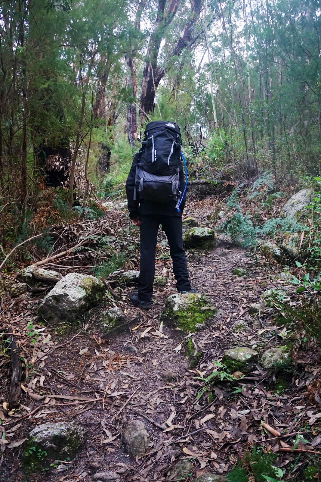
Zach and I were on the go not long after sunset. As with the previous day, the track gives walkers the option of following the vehicle service track or to walk along a purpose built walk trail. We of course chose the walk trail, which started with about two kilometres of gradual ascending through the forest. This would be the last sustained ascent of the trail, with only a handful of short and sharp climbs for the rest of the day.

Once we reached the top of the climb, Zach and I found ourselves in open heathland as the track began a gradual descent. Having had no signal at Roaring Meg or at South Point, I took out my phone and discovered that we had two bars of signal. I quickly messaged Alissa to let her know we were okay and we then continued down until we reached the management track.

While I am not a fan of road walking, I did think that the sections of management track along the Southern Circuit were fine enough and didn't take away from the experience. Unlike in Western Australia, the management track did not show clear signs of dirt bike riders illegally using the trails and ruining the sense of remote wilderness that is part of the appeal of bushwalking.

The track also features some excellent views across the plains and of the small mountains of the Prom. In the distance we could just make out Oberon Bay.


Located in the middle of the park, Halfway Hut was our next major landmark along the track. This is another of the hikers campsites and is unusual as it features a water tank rather than a stream as a source of water.

Although missing its rear window, the hut is actually in good condition and look like a somewhat inviting place to stay. I can imagine this has been a great refuge for hikers looking to escape the often wet Victorian weather. While waiting for Zach to fill up his water, I checked my phone and heard the terrible news about what had happened to Albany as several Prescribed Burns had gone out of control and burnt out sections of the Bibbulmun Track and the Eastern Peaks of the Stirling Range that make up the Stirling Ridge Walk. This was extremely upsetting to hear, especially since Alissa and I had just been to the Stirling Range weeks earlier to climb Mt Magog and were talking about when the mountains were last burnt.

After visiting the hut, Zach and I continued along the road as it made its way north. More and more of the Prom's mountains came into view. With most of the mountains being enshrouded in mist and cloud on our first day, it was good to be able to actually see them this time.

It is only 1.2 kilometres from Halfway Hut to Telegraph Junction. This is where we would have come to had we taken the shortcut at Waterloo Bay the previous day, which would have cut out the steep climb from the beach but would have also meant missing out on South Point.

Oddly enough, rather than having all tracks meet at the junction point, walkers have to continue another 100 metres down the road before reaching the turn off to Oberon Bay.

The first half of the management track is soft and sandy, and was not the most pleasant part of the walk. It reminded me strongly of the vehicle track section along the Bibbulmun Track leading from Sandpatch campsite to Albany. Coincidentally, this is near the section of the Bibbulmun Track that was burnt in the out of control burn, with the hut at Sandpatch having been burnt down.

The walking got better in the second half of the vehicle track, with less sandy and more compacted ground making for pleasant walking as we reached Oberon Bay campsite. This campsite is one of the less popular options in the Prom as it does not feature a stream or a water tank for water collection, and hikers are expected to bring in their water if they wish to camp there.

Zach and I arrived at the perfect time to experience Oberon Bay, as the tide was quite a way out and we had a broad, flat and firm beach to walk on.

As with Refuge Cove, I found the ripples in the sand to be utterly fascinating. While I would not consider Oberon Bay to be one of the best beaches of the circuit in terms of appearance, it was a pleasure to walk - at the time that we walked it at least.

Having disliked his waterlogged shoes after the Sealers Cove crossing on Day 1, Zach was really pleased by the fact that Growler Creek was not even ankle deep, with enough 'islands' of sand between the flowing water for us to jump across easily.


It is not overly clear where the trail picks up after the crossing, however we were correct in our assumption that we had to continue upstream for a short distance. The track picks up just after the granite boulders along the beach as it rises up through the coastal heath.

There is a bit of a climb here as the track makes its way around the headlands north of Oberon Bay to reach the next beach along. The climb is at least short and sharp as it rises up a series of steps.

The trail has good views back towards Oberon Bay before rounding the corner to Little Oberon Bay.

While Oberon felt like a calm, safe beach, Little Oberon seemed like the tempestuous kid brother, with waves crashing wildly against the rocky shore before the beach. The imposing granite headlands behind it added to the overall picture of wildness. Looking at the massive height of the granite hills, Zach and I could not work out where the track actually went, as it looked like it would be impossible to build a trail around it!

After passing some severely eroded sections of the coast, the track descends to the beach.

The route of the beach exit is quite cool as it passes between two large granite boulders. The exciting appearance helps make up for the fact it is a bit of a sand slog getting up to the trail.

The trail crosses two well constructed bridges as it makes its way around the headlands.


The track runs along a very narrow vegetated ledge beneath the large exposed expanse of granite. Without this ledge it would be quite a challenge getting around the rocks as this is the only clear way around to the other side of the headlands.

A series of stairs were our second last ascent for the day. Having pushed really hard to get to the car as fast as possible, Zach and I were pretty worn out by this stage. We both wished the track had just been an even gradient rather than being stepped as it made the ascent more tiring that it otherwise would be.

Luckily the ascent was fairly brief, and as we rounded the corner along a granite slab, we began our descent to Norman Bay.

A fairly large bay, Norman Bay seemed to be fairly popular with surfers. For Zach and I it was a major landmark as this was the last beach of the circuit; just behind the dunes of the beach is Tidal River where our car was parked.

The descent to the beach is fairly gradual, and took a lot longer than we had expected. With the tide out, it looked like we should have gone down to the beach a lot sooner, and Zach wished that we could have been rock hopping on the granite shelf along the water's edge.


The track dropped us down towards the end of the wide sandy beach. From here walkers can either walk down the beach or follow the path behind the dunes as indicated above. Wanted to get back to the car as soon as possible, we took the path and were keen to smash out the last 1.3 kilometres at a much faster pace than the suggested 45 minutes!

The walking here is relatively flat and easy as it passes through a grove of coastal melaleuca.

Right after a road crossing is the last small hill of the track, with the trail rising up and over before bringing Zach and I to an area just behind the visitors centre.

With that, Zach and I had completed the Wilsons Promontory Southern Circuit, and had smashed out our last day in just over 4 hours - much faster than the 5-6 hours suggested by the Chapmans in the walk's guidebook!

The reason for our cracking pace was of course the glint of pie in my eye as Zach and I were really keen to eat a hot meal at the lunch bar at the end of the hike. While there were some pies on sale, we both decided that a chicken fillet burger was probably more nutritious. Washed down with some Powerade to replace the lost electrolytes, this was a perfect way to end our walk.

This final leg of the Southern Circuit was another excellent day of walking, with some interesting inland sections and some lovely coastal walking from Oberon Bay onwards. After a gruelling third day, it was nice to have a fairly easy home stretch back to Tidal River as it got us back in time for a meal and to head back to Melbourne before nightfall. Overall, the Wilsons Promontory Southern Circuit was an excellent coastal walk that lived up to its reputation as one of Australia's best classic multi-day trails, and it is a walk I hope to do again some time in the future with Alissa as the blend of forest and coastal walking would be right up her alley.


It was fantastic to read through your adventure with Zach; my boyfriend and I did the Southern circuit walk as Telegraph saddle - Refuge cove - Oberon Bay - Tidal River as my first camping trip last year, and looking through your photos and reading through your experiences, I've had a really good laugh comparing my rookie mistakes to poor Zach's, and you've also taken me back there, so thanks :D
ReplyDeleteI hope you get to go again soon with Alissa!