

A pleasant and relatively easy walk, the 3.5 kilometre Noble Falls Walk Trail takes walkers along Wooroloo Brook in Gidegannup. Starting and ending at the beautiful Noble Falls, the trail features gentle gradients as it passes through bushland and near semi-rural properties, with the brook a constant companion. Given its short length, easy terrain and dog-friendly nature, this a good walk for families and beginner hikers.
Distance: 3.5 km (loop)
Gradient: Largely gentle gradients over its entire length
Quality of Path: Trail is well maintained and clear, largely following purpose built walk trail. Some sections are along vehicle track and there is a stretch that runs along a bitumen road.
Quality of Signage: Trail features a lot of signage, however many have become seriously faded. The trailhead features a useful mud map that would be worth photographing for your reference.
Experience Required: No Bushwalking Experience Required.
Time: >1 Hour
Steps: Few, if any, steps
Best Time to Visit: Mid Winter- Mid Spring
Entry Fee: No
Getting There: The trail starts at the Noble Falls Day Use Area, on Toodjay Rd in Gidgegannup. The trail is on the opposite side of the road from the Noble Falls Tavern. Entry Fee: No

With Alissa's recovery from back problems bringing about a recent shift in focus to shorter, more manageable trails, and the winter rains meaning Perth's waterfalls are at their best right now, Alissa and I decided to head out to Noble Falls to complete the Noble Falls Walk Trail. We were introduced to Noble Falls by Alissa's cousins last year, however since it was an impromptu visit I hadn't brought a camera with me and we didn't walk the full walk trail. A return visit meant I could finally get my photo of the falls, and see what the full trail was all like.

The trailhead is very clearly signed, and conveniently features a mud map of the walk. As you will see later, there are a number of unclear direction signs along the walk, so I thoroughly recommend taking a photo of the mud map for your reference.

Immediately after crossing the bridge over the Wooroloo Brook, the trail passes its namesake feature - Noble Falls. Compared to Serpentine, Lesmurdie and Sixty Foot Falls, Noble Falls is a very small waterfall, and would be more comparable to a tame version of the Cascades in Gloucester National Park, or a flatter Hovea Falls.

The trail crosses a large, flat granite formation, with the trail continuing onwards on the other side. The signage here is not overly clear as the arrows are faded by the sun, however the two clearest ways through the granite formation both lead onto the path beyond.

Much of the rest of the trail is on broad and well maintained walk trail or service vehicle track in typical Darling Scarp Jarrah and Grass Tree-dominated woodlands.
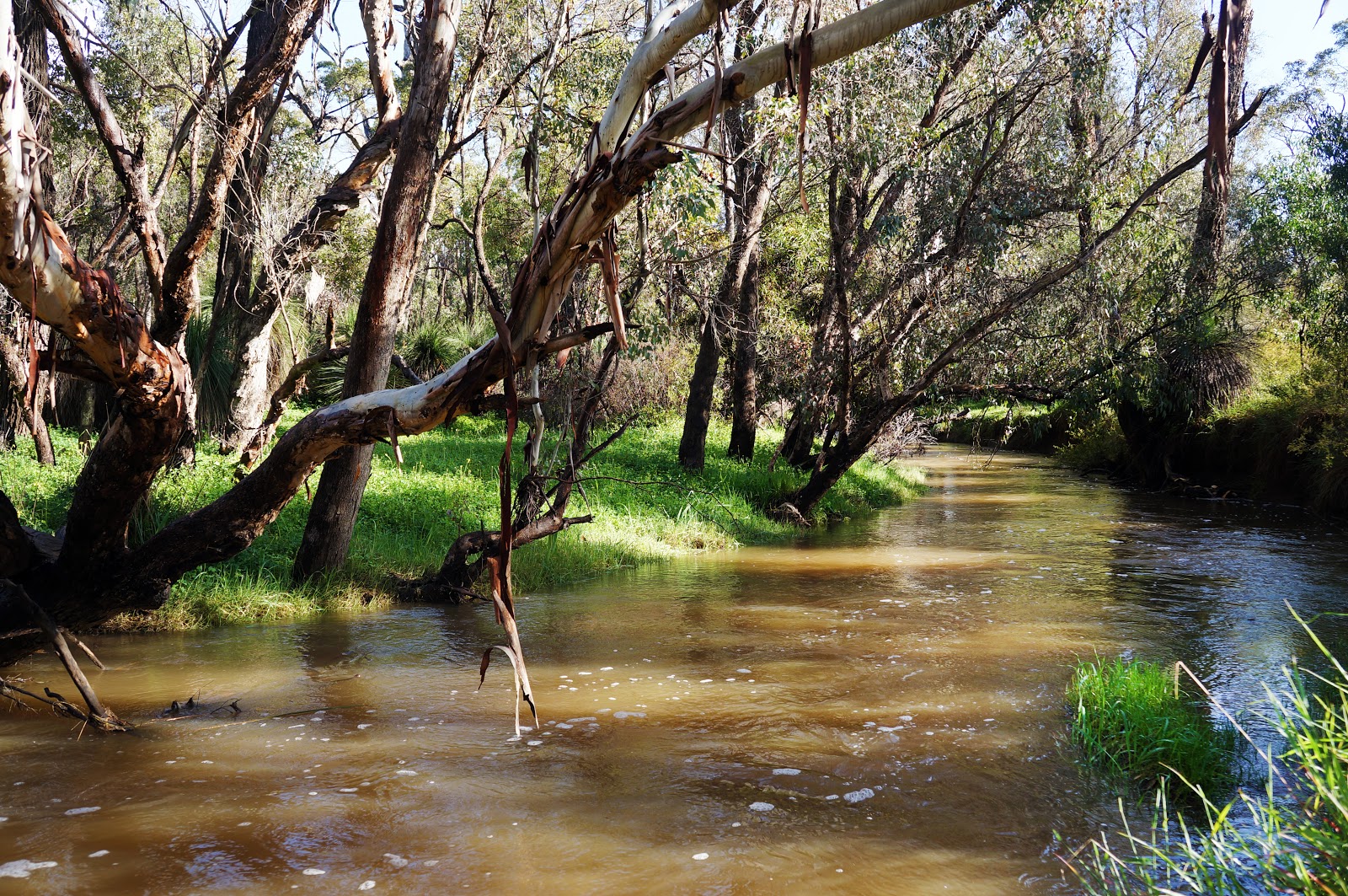
The Wooroloo Brook remains a constant companion for the walk, with the brook running to the left of the path. If confused about directional information, a general rule of thumb is to follow the brook until a later road bridge crosses it.

With the brook on one side, the trail skirts many rural properties on the other. One can't help but feel a little envious of those living so close to such an idyllic location.

Being such a short and relatively flat walk, I don't think the Noble Falls Walk Trail would prove to be too much for most people, however the trail splits in two directions near a foot bridge over the brook. The directional signage is appallingly faded and unclear. For those who are short of time or find the trail challenging, the bridge leads to a shortcut back to the start, with the trail continuing along the same side of the brook completes the full loop.

Further along the brook, walkers will pass a vehicle crossing near a minor cascade. Although flowing quite well, the crossing was not overly deep even at this time of year.
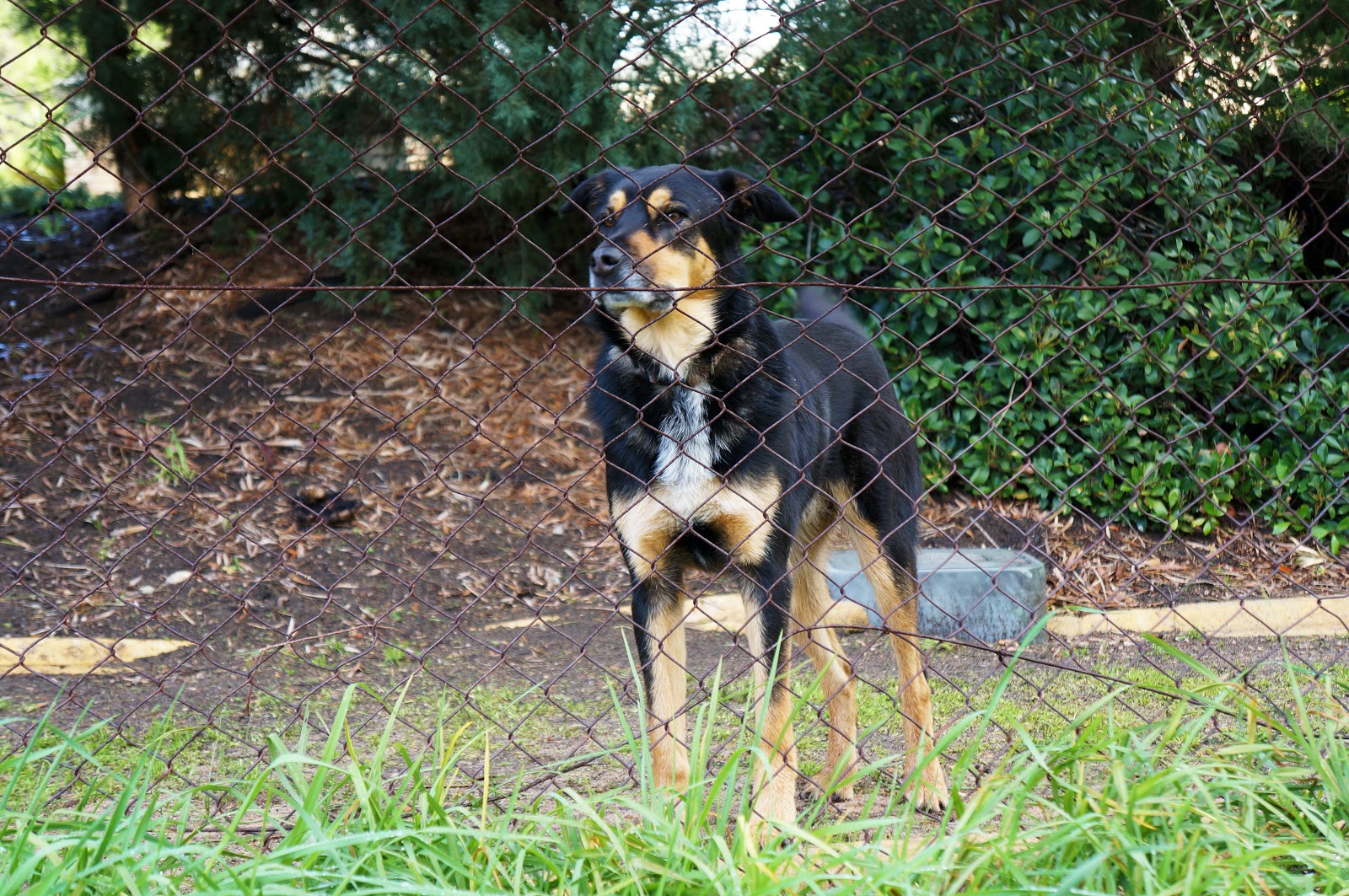
Near one of the properties, a dog came to inspect us as we walked by. Being a dog-friendly walk (as documented by The Life of Py as part of his Tour de Wuff), the Noble Falls Walk Trail undoubtedly gets a lot of canine visitors, and we wondered if the dog was a bit disappointed we didn't have a furry friend in tow.

The trail eventually joins a road and becomes unclear for some length. Thankfully, we had photographed the map as a reference and could see that the trail does indeed follow alongside the road with an option to follow a faint trail along the river bank.
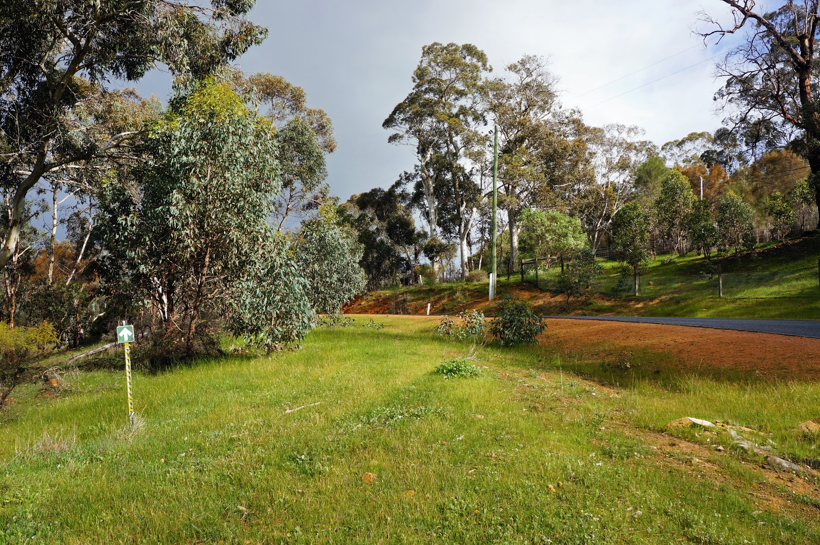
Following alongside the road, directional arrow markers helped confirm that we were going the right way. At this stage, the clear blue skies to our right were beginning to be overtaken by the grey rain clouds to our left, however with the sun in the east giving us an oddly brightly lit landscape against a backdrop of dark clouds.

At a T-Junction in the road, the track turns left over Wooroloo Brook, crossing on the Brennan Rise Bridge. As this is a road bridge, walkers should pay extra attention and move quickly when crossing the bridge. Following Brennan Rise, the trail turns left at the end of the road back into the bushland.

At this point the rain came down hard and fast, proving the weather department wrong when they suggested there was only a 10% chance of rain at this time of the day - though, to be fair, they did forecast a 90% chance for the whole day.

Following the vehicle track through Wandoo and Jarrah bushland provided for a pleasant walk, in spite of the fact we were getting well and truly drenched by this point.

This section provides excellent views of Wooroloo Brook, with a few high vantage points overlooking the brook as it courses through the landscape.

Many walk trails in Perth feature burnt out, rusty cars along their path, and Noble Falls is no exception. Usually the burnt out cars are boxy 1980s models, however the rusty shell along this trail was a more curvaceous vintage model for a change. While nicer to look at, I never feel sad for the old boxy cars, while its a bit more tragic to see a once nice car fall into this stage of decay.

Beyond the car, the trail passes by a gauging station before heading alongside the main road. From here, Noble Falls comes back into view, signalling that the walk is nearly at its end.
The trail takes walkers to the far end of the car park, allowing for another look at the falls in action before heading home.
Apart from the sometimes unreadable directional signage and the rain during the return leg of the loop, the Noble Falls Walk Trail was the easiest of the four short walk trails we've done recently - easier than the shorter but steeper Lesmurdie and Sixty Foot Falls trails, and Whistlepipe Gully's comparable length. Overall, the scenery was pleasant and enjoyable, however it was probably the least spectacular of all four trails, with its lack of National or Regional Park status fairly obvious. Still, Noble Falls are definitely worth checking out and given the short kilometre and time commitment, the walk trail provides a good opportunity for a simple stroll for young families and beginners - especially if you've got a dog in tow.


0 comments:
Post a Comment